Norway’s European Route E39 is the country’s largest infrastructure project in history. This coastal expressway, estimated to cost over $50 billion, will connect the two sides of Norway and Denmark in a unique way. The road is made up of underground tunnels, sea crossings, and many destinations. It is 1,330 kilometers long and ranks among the world’s longest single roadways.
The project began in 2018 and is still moving forward with steady progress. Although one end of the bridge will be in Denmark, the route is entirely under the control of the Norwegian route Administration. The Administration is responsible for both the road’s construction and upkeep.
The European Route E39 began with the basic goal of reducing ferry crossings in Norway.
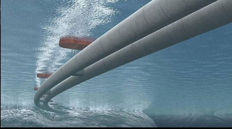
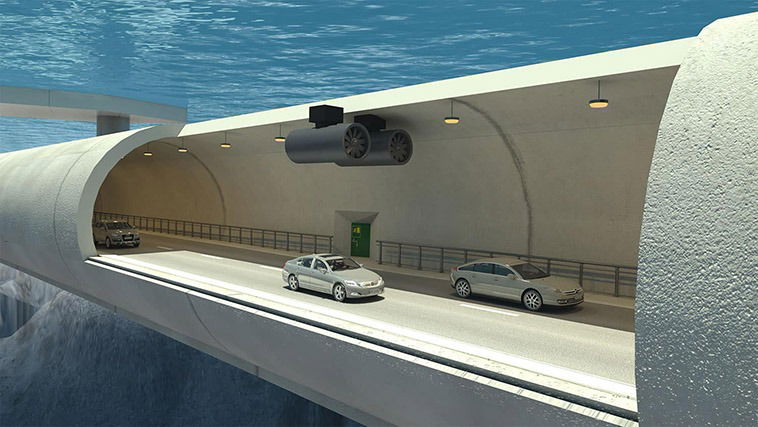
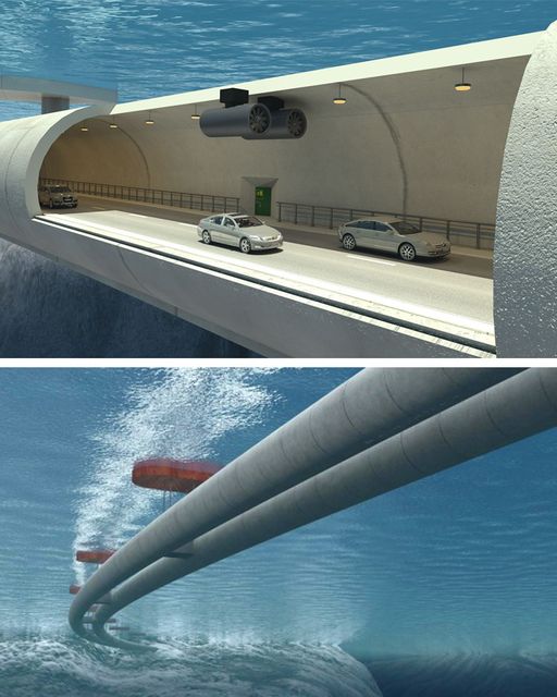
Originally, the travel from one end of the highway to the other, via ferries and/or land, took about 21 hours. As a result, the Norwegian government is working to rectify this and make the country’s northern regions more accessible. The coastal highway’s first crossing is from Boknafjorden to Bjornafjorden via an underwater tunnel. The tunnel will be roughly 400 meters below sea level and 27 kilometers long.
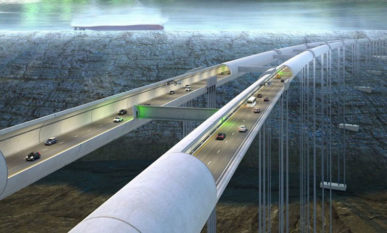
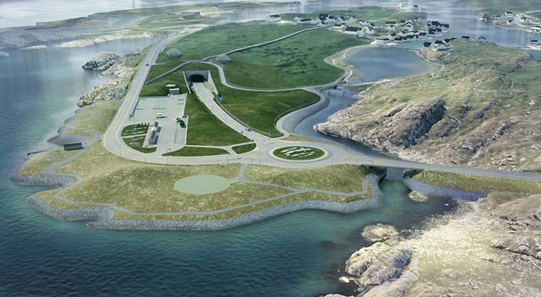
Despite being a single route, Norway’s coastline highway will be among the most complex in the country. After construction, it will go through fjords and mountains before going under and across the sea. It will undoubtedly be among Norway’s most spectacular achievements.
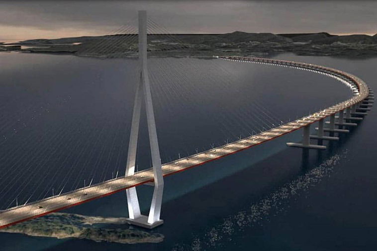
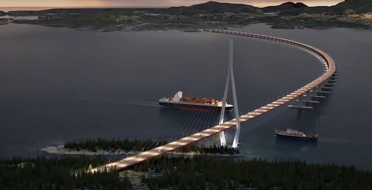
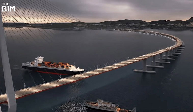
The Stord-Os bridges are maybe the project’s most interesting feature. These bridges will replace the Sandvikvåg-Halhjem ferry and connect Bjornafordend. It will be a 5-kilometer-long floating bridge with anchored ends.
Overall, the European Route E39 will significantly reduce ferry rides, transportation and travel costs, and save time for citizens by providing a faster and shorter route.